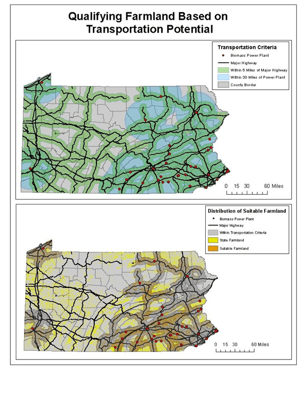
I recently added a project that I had previously completed, you can see more information on it’s “Projects” page. I decided to add this project because it utilizes a number of useful tools in ArcGIS. This was also the first report that I presented to a large audience. At Temple University GIS Day, I presented this GIS project to a crowd of over 100 students, faculty, and guests, as a working example of utilizes multiple GIS functions for site suitability analysis.
The data used covers many of the types of data that a regular GIS user will utilize. Vector lines, points, and polygons, and Raster imagery. A number of geoprocessing functions were utilized, such as buffer, merge, intersect, union, an dissolve. As well as a number of raster analysis functions; such as reclassify, extract by mask, and zonal statistics.
I believe this project works as a great example of utilizing multiple GIS functions with multiple types of data. Please see this project and more in my Projects sections
